|
 |
 |
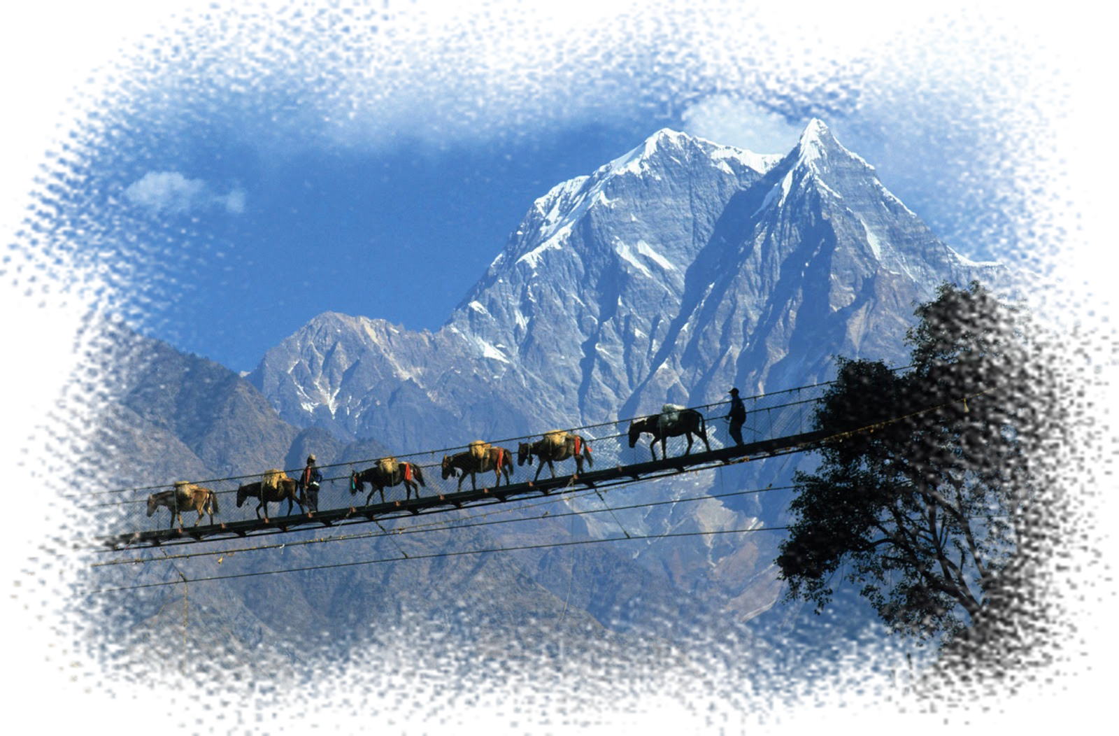
COASTAL area in IWATE Ken
"Ken" in Japanese means "Prefecture" |
Let's more moved - turn a trip of sight in Japan into a trip of FEELING!
|
|
| |
|
|
|
|
TRAVELMART® is a rare presence in Japanese travel market.
That's because it's only a travel agency in Japan that specializes in arranging
travel throughout the Tohoku region in Japan. |
| The TOHOKU region refers to the northeastern part of the main island, Honshu
of Japan. |
| It's the quintessence of Japan for visit Japan travelers... |
| the most attractive place the most scenic place the most mysterious place |
| |
|
|
|
|
| High-quality service Free travel consultation |
 Recommended items you won't regret in Coastal area, Iwate Ken Recommended items you won't regret in Coastal area, Iwate Ken
|
Recommended items for the trip will be added sequentially. Please check
back from time to time.
|
|
| other contents |
|
|
Medical Tourism
|
|
|
| Japan - the country of advanced medical care! |
 |
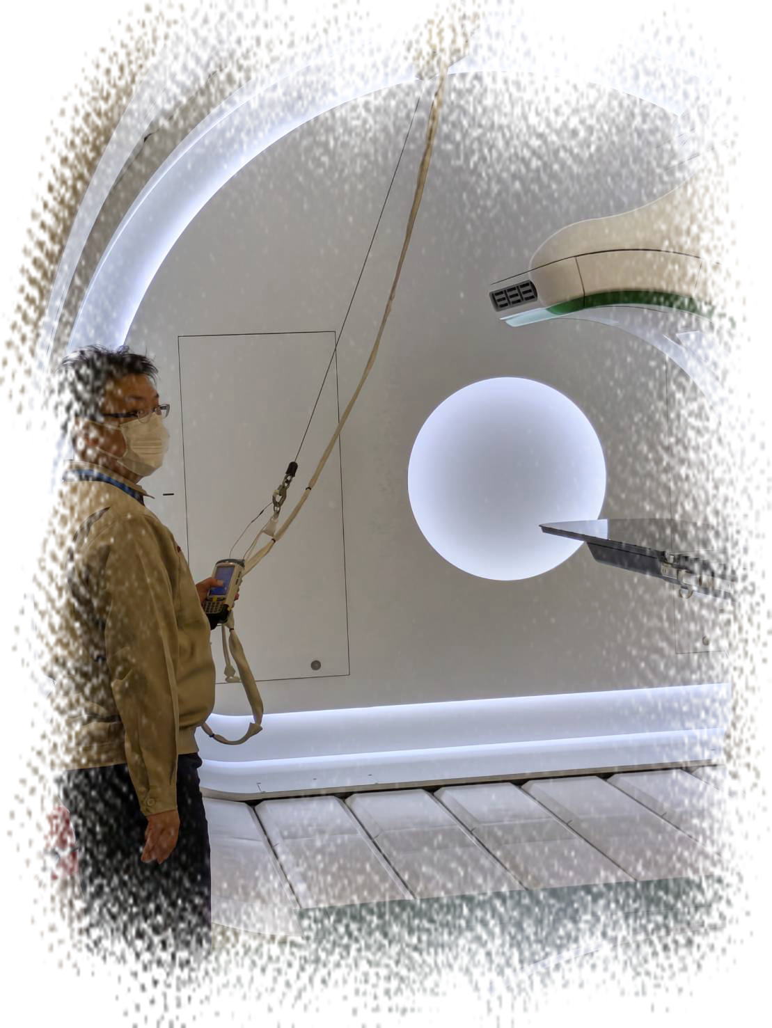
| Cancer can be cured without surgery |
|
|
|
Properties' Research-Purchase Tourism
|
|
|
| Japan - stable politics and public safety! |
|
| Perfect for living or investing |
|
|
| |
|
| |
|
ACCOMMODATION - HOTEL, RYOKAN (Traditional Japanese Inn)
|
|
|
|
|
| |
|
| |
| |
|
|
Trips abroad for Japanese Travelers
|
|
|
| a custom-made trip is the one you won't regret |
|
|
|
|
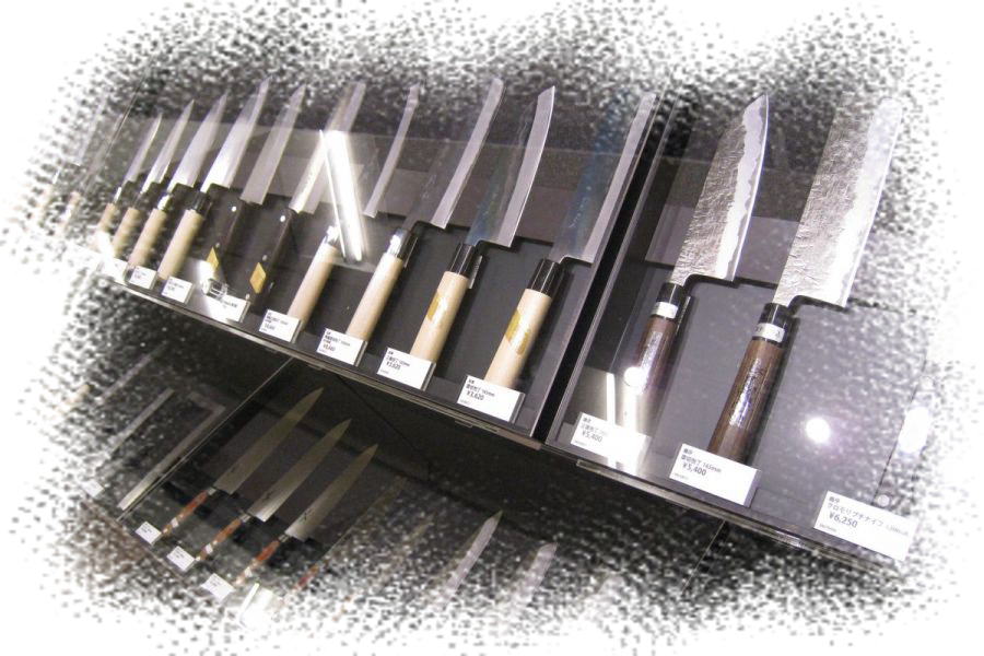
shop - the TOHOKU PRIDE
|
|
|
| You can purchase Japanese masterpieces |
|
|
|
| |
|
|
| Discover something in Japan! |
| TRAVELMART® is not only a travel business, but also can offer clients valuable
experiences in Japan by its wealthy network and know-how, as ... |
| Medical care, Real estate (purchase, investment, management), Purchase
Japaese masterpieces, Relocation to Japan and Establishing a company or
shop, others |
|
| Copyright... IMA Group Co., Ltd. (Wholesaler and Travel Agency in Japan
since 1985) |
| <about link> these web pages are always Link Free. You can feel free to create link to every pages.
|
|
|